Greyharbor · Harbor Map
Aktualisiert vor 3 Wochen
Greyharbor · Harbor Map
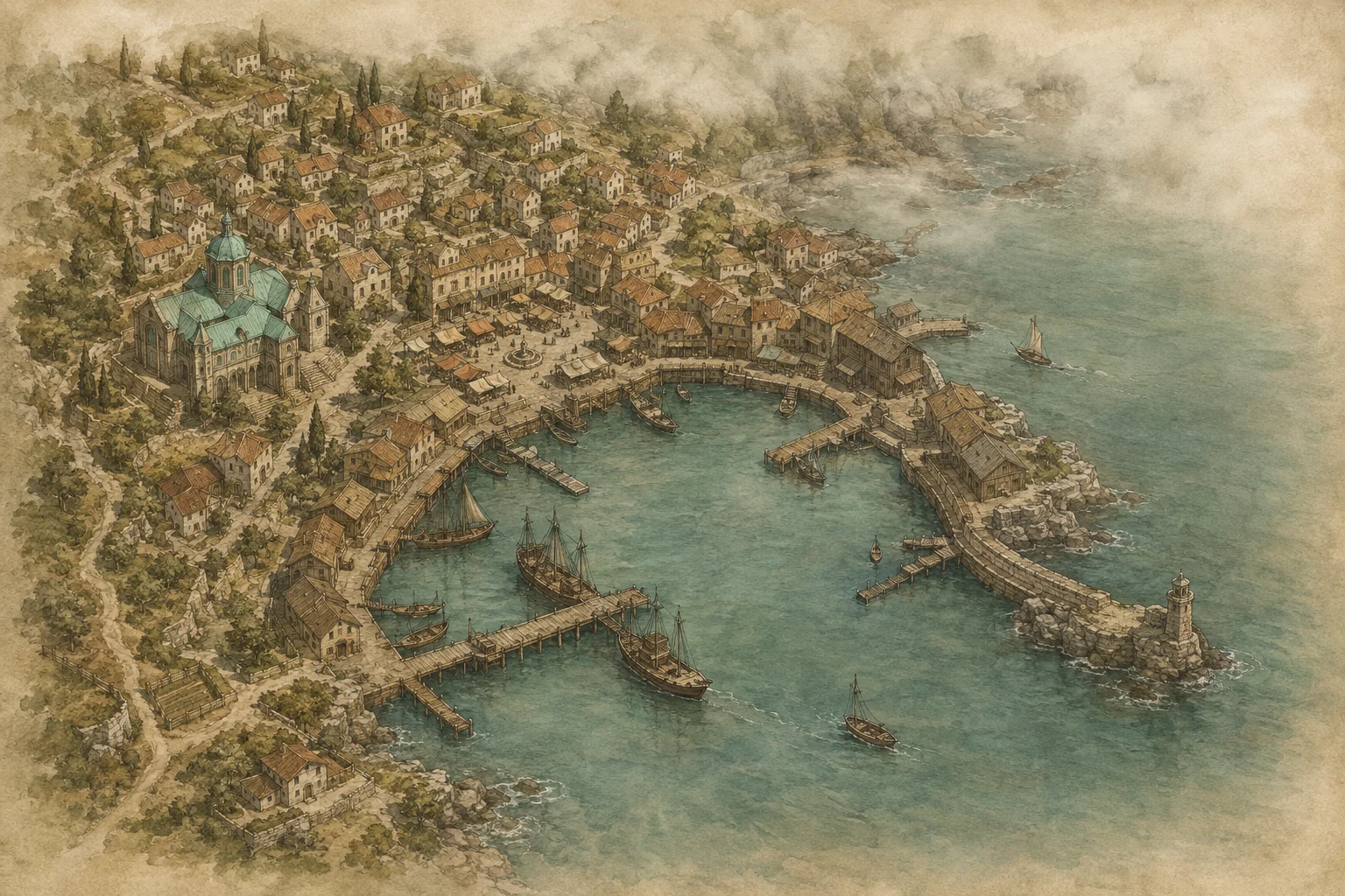
This raised view of Greyharbor shows a sheltered basin with jetties, small sailing boats and stonework facing the open water. Houses and lanes climb behind the quay. The Archive Circle's copper-green dome stands out on the left, with the market between the large building and the narrower waterfront paths. Pale mist hangs along the coast.
The illustration makes the closeness of work, trade and the Archive easy to understand. People need not cross half the town to get from workshop to quay. Narrow paths, stalls and buildings also create limited views: standing in one place does not reveal everything happening elsewhere in the port.
The image supplies the background for the Clues at the Harbor whiteboard. Its placed clues belong to the chart investigation. The view is not a scale survey. Individual doors, sightlines and travel times need establishing in play; a painted boat does not document an escape.
This raised view of Greyharbor shows a sheltered basin with jetties, small sailing boats and stonework facing the open water. Houses and lanes climb behind the quay. The Archive Circle's copper-green dome stands out on the left, with the market between the large building and the narrower waterfront paths. Pale mist hangs along the coast.
The illustration makes the closeness of work, trade and the Archive easy to understand. People need not cross half the town to get from workshop to quay. Narrow paths, stalls and buildings also create limited views: standing in one place does not reveal everything happening elsewhere in the port.
The image supplies the background for the Clues at the Harbor whiteboard. Its placed clues belong to the chart investigation. The view is not a scale survey. Individual doors, sightlines and travel times need establishing in play; a painted boat does not document an escape.